CADASTRE AND PROPERTY REGISTRY SUMMIT
ABOUT THE EVENT
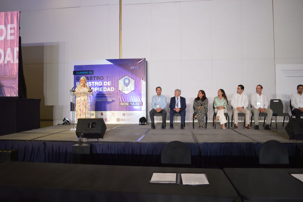
The Cadastre and Property Registry Summit #CONFCAT22 is the largest event in this field in the region, which responds to the mandate of the Resolution on Strengthening Democracy of the 51st OAS General Assembly in its section "Strengthening Cadastre and Property Registry in the Americas AG/RES. 2975 (LI-O/21); it brings together the highest authorities of the public and private sector, experts, civil society, and enthusiasts of cadastre and property registry. The objective of this forum is to exchange knowledge and experiences for a better cadastral and registry management, which results in the improvement and promotion of citizens' access to titled land tenure, for the strengthening of democracy and inclusive and sustainable development.
Read MoreThe Summit is co-organized by the Government of Mexico represented by the National Institute of Statistics and Geography (INEGI), the Civil Association Mexican Institute of Cadastre (INMECA), the Inter-American Network on Cadastre and Property Registry (RICRP) represented by the Department for Effective Public Management of the Organization of American States (OAS), and the Permanent Committee on Cadastre in Ibero-America (CPCI) represented by the General Directorate of Cadastre of Spain.
This year's meeting brings together in a single event and integral space the VIII Conference and Assembly of the Inter-American Network on Cadastre and Property Registry (RICRP), and the XIII Symposium and VIII Assembly of the Permanent Committee on Cadastre in Ibero-America (CPCI).
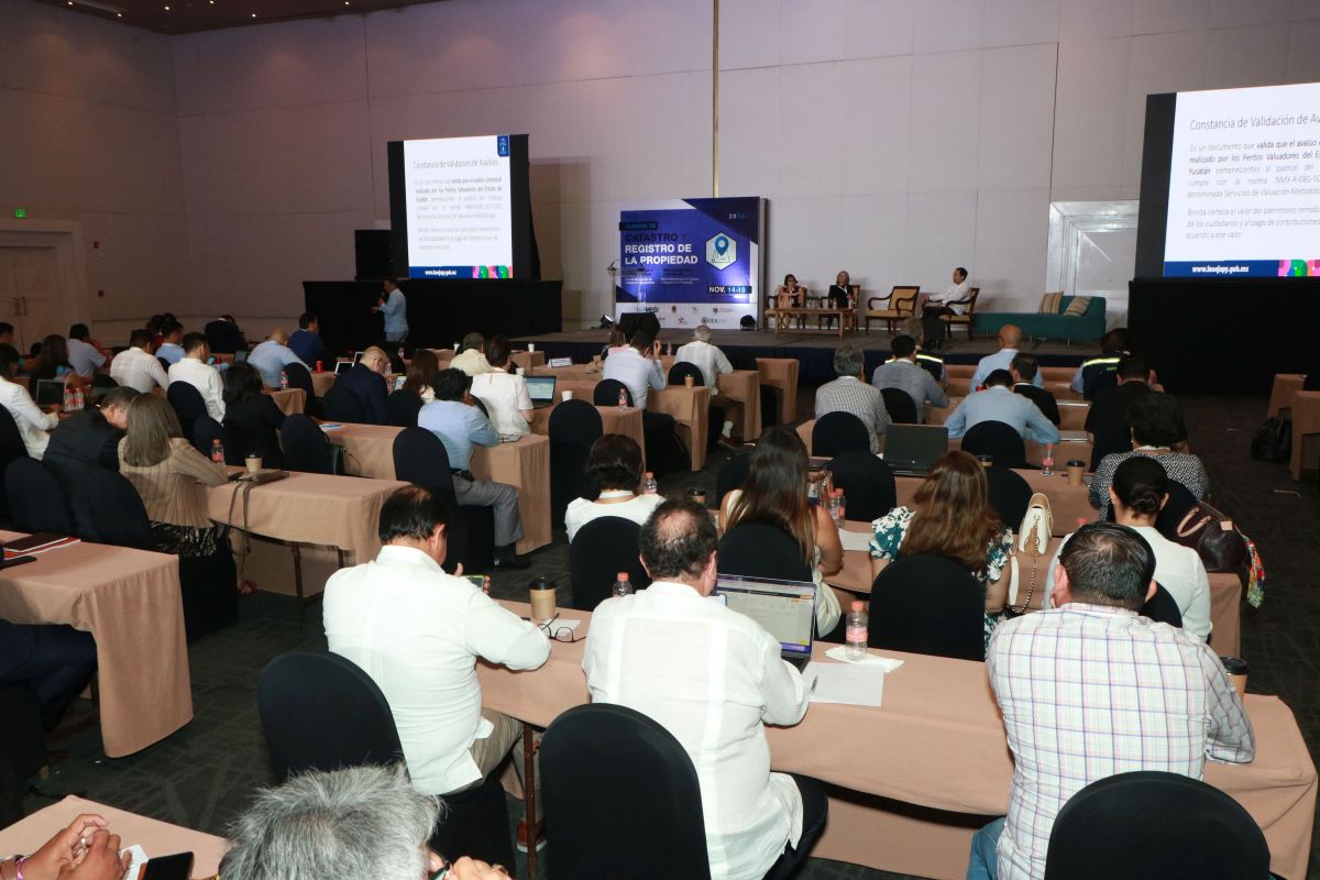
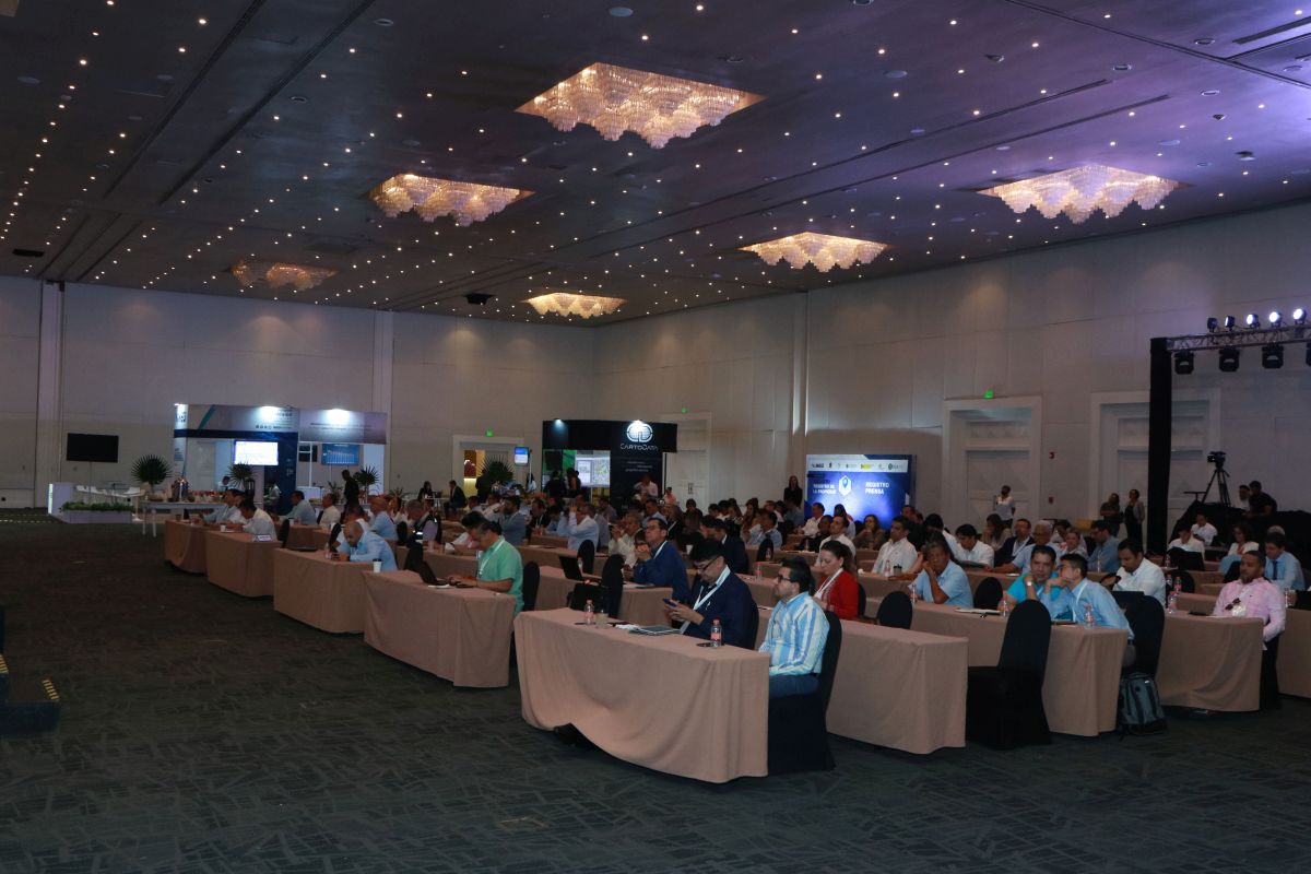
The working agenda of this Summit will have as its thematic axis "CADASTRAL AND PROPERTY REGISTRY IN THE EFFECTIVE LAND GOVERNANCE." The #CONFCAT22 exchanges include 28 sessions and two Member Assemblies, through which border issues for cadastral and registry management will be addressed, as well as the problems that the COVID-19 pandemic has caused and will cause on these two functions of public administration. Above all, it will analyze the impact of cadastre and property registry resilience in the face of emergency and crisis scenarios for effective land governance, such as climate change and post-pandemic socio-economic recovery.
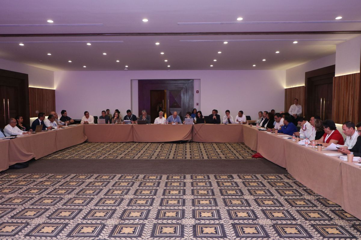
At the close of the Summit, the national representatives of cadastre and property registry of the OAS Member States will elect new authorities within the framework of the Annual Assembly of the RICRP and make decisions about the cadastre and property registry work agenda in the region for 2023, which will be submitted to the OAS General Assembly.
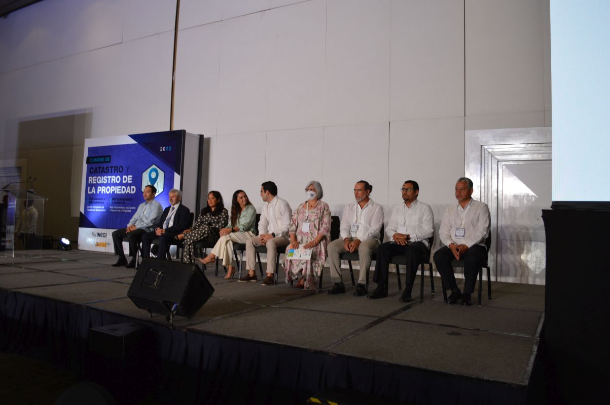
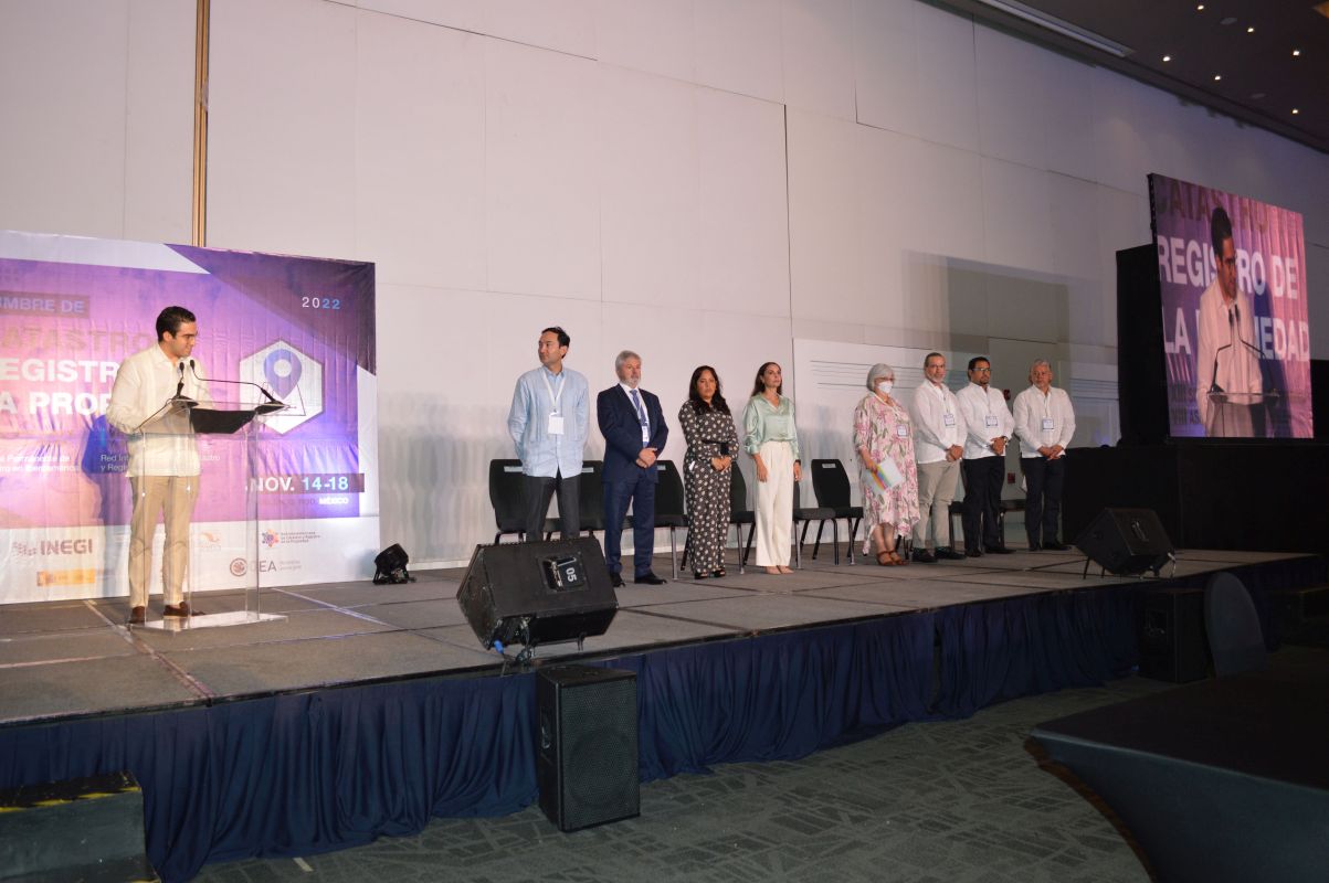
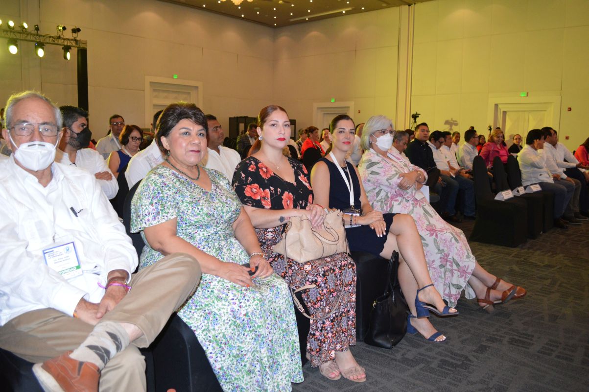
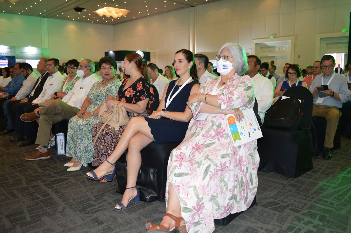
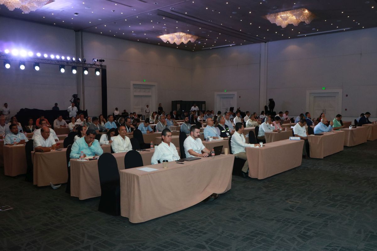
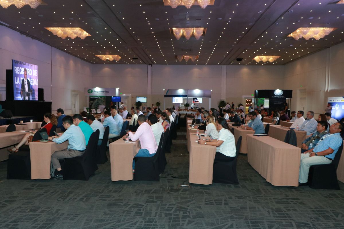
The Summit will be attended by the highest national Cadastre and property registry authorities of the OAS Member States and members of the RICRP; decentralized cadastres like members of the CPCI and INMECA; senior Mexican federal and state authorities and public officials with responsibilities in these areas or users of cadastral and registry information; independent experts and experts from multilateral organizations such as the OAS, World Bank, IDB, FAO, among others; and representatives of the private sector with cadastral and registry products and solutions. The Summit will have a forum dedicated to the exhibition of cadastral and registry innovation for participants from the private sector. The Summit will take place at the All-Inclusive Paradisus Cancun Hotel in Cancun, Quintana Roo, Mexico. Admission to the conference is free of charge, however, interested participants who are not staying at the hotel must pay a fee for access and/or use of the facilities. The organizers will have the right to authorize or not the registration of applicants for reasons of capacity and relevance, which is why all interested persons must apply for participation in order to be validated.
For questions or clarifications, send an e-mail to confcat22@inegi.org.mx
Read Less

Created on January 25, 1983, by presidential decree, the National Institute of Statistics and Geography (INEGI) is an autonomous public agency responsible for the generation of quality, relevant, accurate and timely information on the territory, resources, population and economy in Mexico, which provides information on the country and contributes to decision-making and national development.
INEGI is the coordinator of the National System of Statistical and Geographic Information (SNIEG), which is made up of administrative areas with authority to develop statistical and geographic activities, known as State Units. These units supply data on different topics to the national subsystems of Economic, Demographic and Social, Government, Public Security and Justice Administration, and Geographic Information, Environment, Land and Urban Planning (SNIGMAOTU), whose objective is the production, integration and dissemination of information of national interest in the areas of their competence.
In its geographic component, INEGI, as coordinator of the SNIEG and at the same time as a state unit, compiles, analyzes, generates, and disseminates cadastral data that allow society and the state to know the evolution of the activities and functions of the cadastral and registry agencies of the national territory.
Let's get to know Mexico together:
https://www.inegi.org.mx/
Quintana Roo is located in the Yucatan Peninsula in the southeastern region of Mexico, bordering to the north with Yucatan and the Gulf of Mexico (Atlantic Ocean), on the east by the Caribbean Sea (Atlantic Ocean), on the south by Belize and on the west by Campeche.
Its name comes from Andrés Quintana Roo, husband of Leona Vicario, who played an important role during Mexico's independence. Its population is 1,857,985 inhabitants according to the National Population and Housing Census 2020, its capital is Chetumal and its most populated city is Cancun.
Its capital Chetumal, which in Nahuatl means "place where red trees grow," is located near the natural border that separates it from Belize, the Hondo River.Located in the Mexican Caribbean, Quintana Roo is a unique region in the world, diverse in terms of destinations and tourist attractions: blue sea, white sand beaches, tropical jungle, archaeological sites, cenotes, subterranean rivers, islands, lagoons, living Mayan culture and history.With an infrastructure that competes worldwide for the variety in its accommodation offer, national and international gastronomy, connectivity, multiculturalism and natural resources. It offers 14 important tourist destinations: Holbox, Isla Mujeres, Costa Mujeres, Cancun, the Riviera Maya, which includes Puerto Morelos, Playa del Carmen and Tulum, Cozumel Island, Maya Ka'an, as well as the Grand Costa Maya made up of Mahahual, Bacalar and Chetumal.This Institute promotes and organizes among its affiliates the implementation of permanent, modern and dynamic training and professionalization of the cadastral profession according to national standards, intending to establish them as best practices; as well as to design and regulate the operation of cadastres at the municipal level, using legal and regulatory comparisons among the country's own experts.
INMECA, as a civil association, offers it's associate members the benefits of advice and assistance in development projects, training, and access to the benefits granted by the agreements signed by INMECA, such as scholarships for online masters with the University of Jaén, granting priority provision of services and tools to professionals in the field and the transfer of technological know-how for the implementation of interoperability on a cartographic basis.
Its Vision is to promote cadastral activity in Mexico and to obtain an analytical knowledge of the Cadastres identifying the actions to be taken for a Cadastral Reform that improves the real estate contributions and promotes the urban and economic development of the country.
Created in 2006 with the main purpose of facilitating socio-economic development through the deployment of all the capacities of the Cadastre, since this public institution is considered necessary to foster economic growth, the improvement of the quality of life of citizens, and the social empowerment of Ibero-American countries.
It is constituted as a forum that brings together all public institutions with cadastral functions in the Ibero-American sphere, in which information, expertise, technological support and best practices are exchanged among its members. It is made up of 78 full members and 14 observer entities, 92 institutions from 22 countries and the Commonwealth of Puerto Rico.
The Permanent Committee of the Cadastre in Ibero-America has no legal entity of its own and organizationally, it is governed by a general assembly of which all its members form part and an executive committee made up of a president, a vice-president and three members representing the three major regions of the organization: South America, Mesoamerica and the Caribbean, and Europe. Since November 2019, the General Directorate of Cadastre of Spain has held the presidency of this organization. The Cadastre of Quintana Roo, the current president of the Mexican Institute of Cadastre, is in charge of the vice-presidency.
Learn more about the CPCI:
www.catastrolatino.org
http://www.eurocadastre.org
The Inter-American Network of Cadastre and Property Registry (RICRP) is an initiative of the countries of the Americas that come forth in 2014 supported by the Organization of American States (OAS), the World Bank (WB) and the Food and Agriculture Organization of the United Nations (FAO), constituted as a systematic horizontal technical cooperation mechanism through which the exchanges aimed at developing, disseminating, and implementing the best practices of Cadastre and Property Registry are promoted, multiplied, strengthened and invigorated, in support of institutional development processes and progress at various levels of government.
The Network is composed of the highest National Cadastre and Property Registry Authorities of the OAS Member States and its highest decision-making body is its Annual Assembly. The RICRP has the OAS as its Technical Secretariat through the Department for Effective Public Management and an Executive Committee as a governance mechanism. The Executive Committee is composed of a country president/chair and a representative country from each of 5 subregions (North America, Central America, the Caribbean, the Andean Region, and Mercosur). This committee is responsible for ensuring compliance with the bylaws of the Network as basic rules for the organization and operation of the Network, and for preparing, coordinating, and supporting the execution of its Annual Work Plan; among others. The RICRP is responsible for the organization of the Annual Conference of Cadastre and Property Registry.
Learn more about the Network:
https://ricrp.org/
Agenda
ORGANIZERS


#XIIISIMPOSIOCPCI
With the support of:


Commercial exhibition:


PANELISTS
Location
Blvd. Kukulcán km 16.5,
Zona hotelera, 77500
Cancún, Quintana Roo
México. Tel:(998) 881-1100